Scotland is facing a fresh spell of snow and freezing temperatures, with the Met Office warning that some areas could see up to 15cm of snow as wintry weather sweeps across the country.
A yellow weather warning has been issued for parts of southern Scotland from midnight until noon on Tuesday 17 November, with motorists warned of difficult conditions on higher roads and possible disruption to public transport.
The warning covers parts of Ayrshire, Lanarkshire, Dumfries and Galloway, Midlothian and the Scottish Borders.
Forecasters expect a band of rain to move northwards overnight on Monday, turning to snow as it encounters colder air across southern Scotland and northern England.
Snow is expected mainly on ground above 100–200 metres, with accumulations of between 1cm and 5cm possible in affected areas.
Higher ground above 300–400 metres could see between 5cm and 15cm, although snowfall is expected to be much more limited at lower elevations.
Strong easterly winds could make conditions particularly difficult on exposed roads, with localised drifting adding to the risk of disruption.
The Met Office has also warned that ice could accumulate on infrastructure, including power lines.
The latest warning comes after temperatures dropped below freezing in parts of Scotland overnight, bringing icy conditions to roads and pavements.
A separate yellow warning for ice, which ran from Sunday evening until 10am on Monday, covered large parts of the country, including Edinburgh, Aberdeen, Dundee, Stirling, Fife and the Highlands.
Wintry showers across northern Scotland were expected to bring small accumulations of snow at lower levels, with up to 4cm or 5cm possible on higher ground.
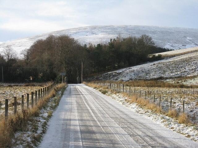
M J Richardson / Geograph
Which areas of Scotland are covered by the snow warning?
The Met Office updated its yellow snow warning on Monday morning, reducing the area covered and bringing forward the time at which the warning is expected to end.
The six Scottish council areas included in the latest warning are:
-
East Ayrshire
-
South Ayrshire
-
South Lanarkshire
-
Dumfries and Galloway
-
Midlothian
-
Scottish Borders
The warning is in force from midnight until noon on Tuesday 17 November.
Glasgow and Edinburgh city centres are not included in the latest snow warning, although surrounding areas may experience colder conditions.
The greatest risk of accumulating snow is on higher ground rather than in towns and cities at lower elevations.
Motorists travelling through the affected regions are being advised to allow extra time, particularly on exposed and elevated routes.
Road and rail journeys could take longer, with some disruption possible to bus and train services.
When will the snow stop?
The Met Office expects the snow to gradually turn back to rain from the south during Tuesday morning as milder air moves north.
Any snow falling at lower levels is likely to be temporary and melt relatively quickly.
There is also a possibility of surface water causing minor disruption as the snow turns to rain.
The wider UK forecast suggests Tuesday will be wet and windy, with heavy showers in some southern areas and persistent rain farther north.
Northern Scotland is expected to see brighter intervals mixed with showers.
Conditions are forecast to remain unsettled into the middle of the week, with further rain, showers and some brighter spells.
Travel advice during the snow warning
Drivers are being urged to check conditions before setting off, particularly if travelling through rural areas or over higher routes.
Snow, strong winds and freezing temperatures can make untreated roads slippery and increase stopping distances.
Travellers should check Traffic Scotland for road conditions and their rail or bus operator for any service changes.
The Met Office has also advised pedestrians to take care on icy pavements and allow additional time for journeys.
Weather warnings can change as forecasts are updated, with the latest information available through the Met Office.